Initially launched in 2021, Flood Hub displays forecasts for riverine floods — or floods that take place when streams or rivers overflow their banks and into surrounding areas — showing when and where they are likely to occur. Human-caused climate change can cause these kinds of floods to become larger or more frequent than they used to be, per the EPA. Regions with high percentages of population vulnerable to flood risk — like the Netherlands, Vietnam, Laos and Cambodia as well as Myanmar, which was just struck by Cyclone Mocha — are now on Google’s list of forecastable places. It can also be used in parts of the Central American “dry corridor” in Nicaragua, Honduras, and Guatemala — where climate change and conflict collide.
Pan Am Plane Crash That Inspired Modern Safety Briefings Found After 74 Years
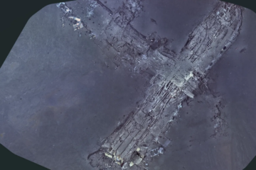
The wreckage of a Pan American Airways plane has been found 74 years after it plunged into the Atlantic Ocean in a crash that prompted mandatory airline safety briefings. The Clipper Endeavor was found 2,000ft Read more…